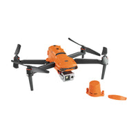
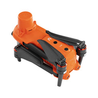
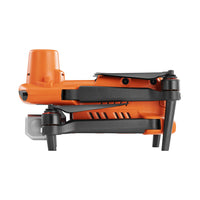
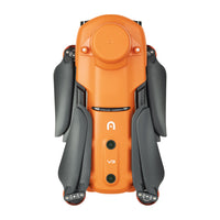
EVO II Dual 640T RTK Rugged Bundle V3


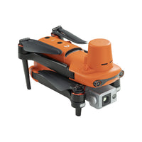
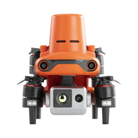
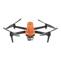
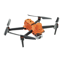
EVO II Dual 640T RTK Rugged Bundle V3
- Precision RTK module, supports PPK and time synchronization
- Dual Camera design with a thermal imaging sensor
- Thermal imaging sensor has a resolution of up to 640x512
- Support 10 Thermal color palettes, 30Hz refresh rate and Picture-in-Picture mode
- 13mm lens and 16x digital zoom capable of recognizing subjects at up to 100m
- Radiometric Temperature Detection
- 10-bit A-log post-production flexibility
- Rectangular or Polygon Missions
- 360° obstacle avoidance with 19 groups of sensors
- Industry-leading 38 minutes flight time
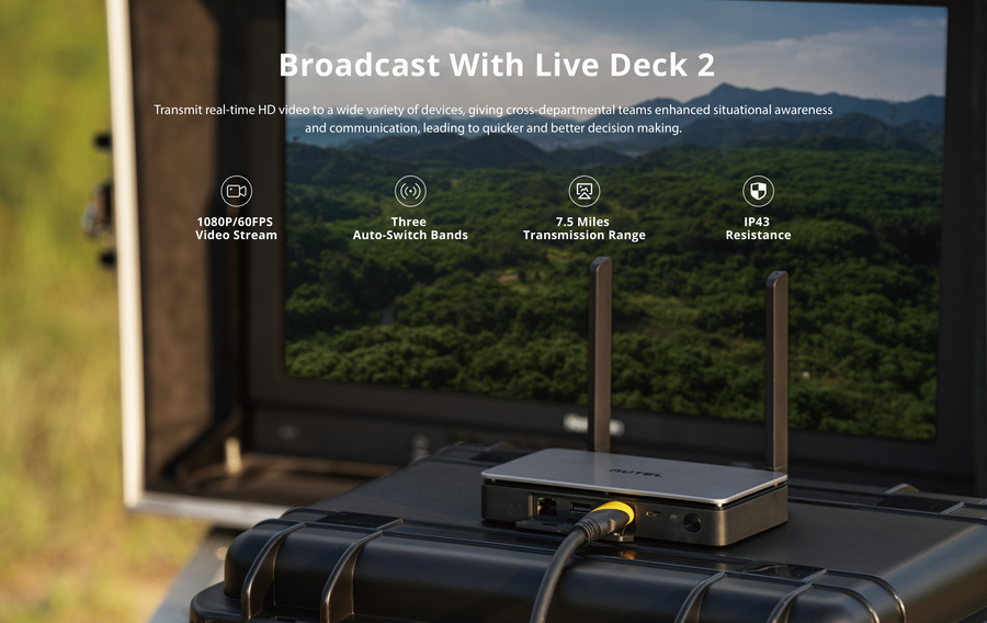
- Transmission range of 9 miles
- 45 mph max speed

Features

Centimeter-level Positioning
The EVO II RTK Series integrates an entirely new RTK module, which provides real-time centimeter-level positioning data and supports Post-Processing Kinematic (PPK). The aircraft can record the original satellite observation data, camera exposure parameters, and various other data. The positioning system supports an A-RTK base station and RTK network, which help provide stable, accurate data acquisition in complex operation environments.


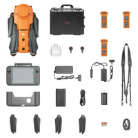
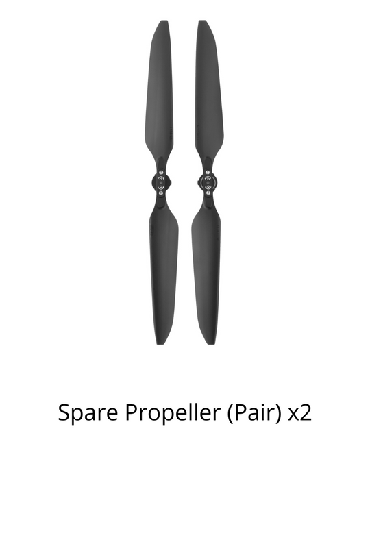
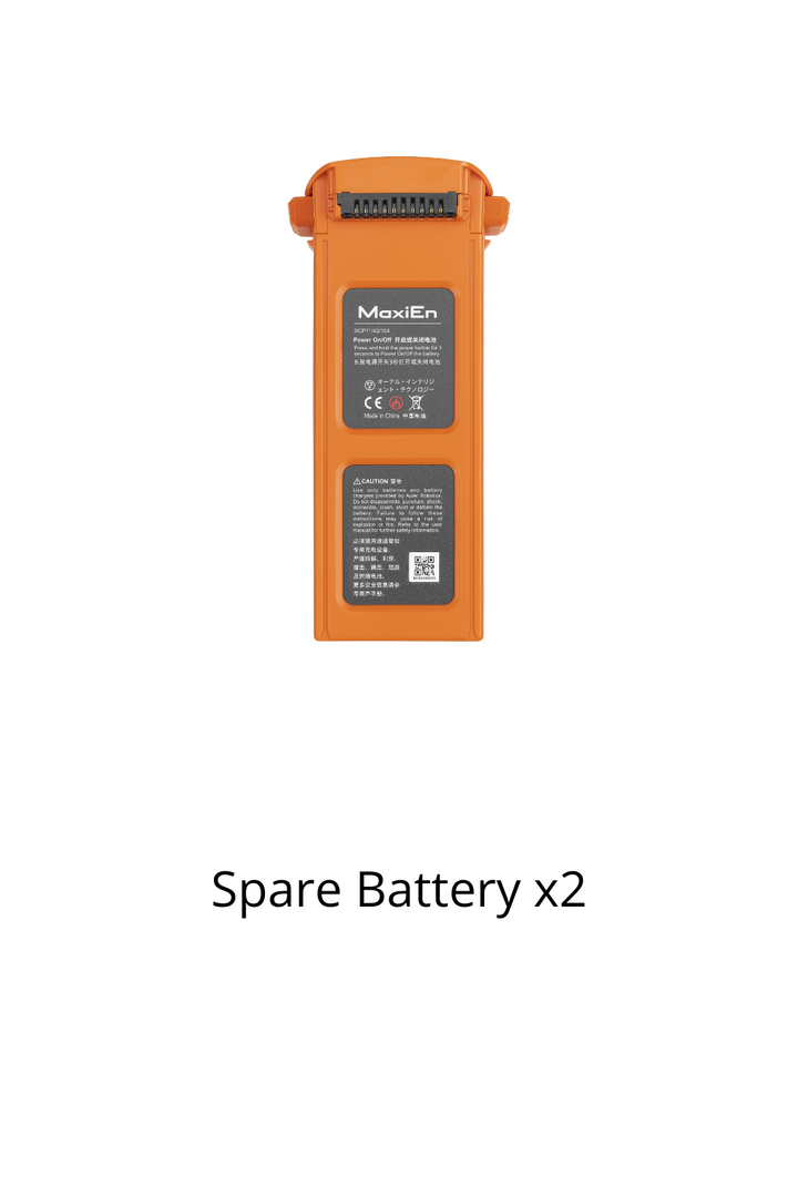
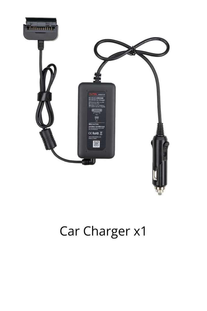
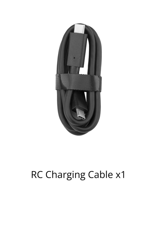
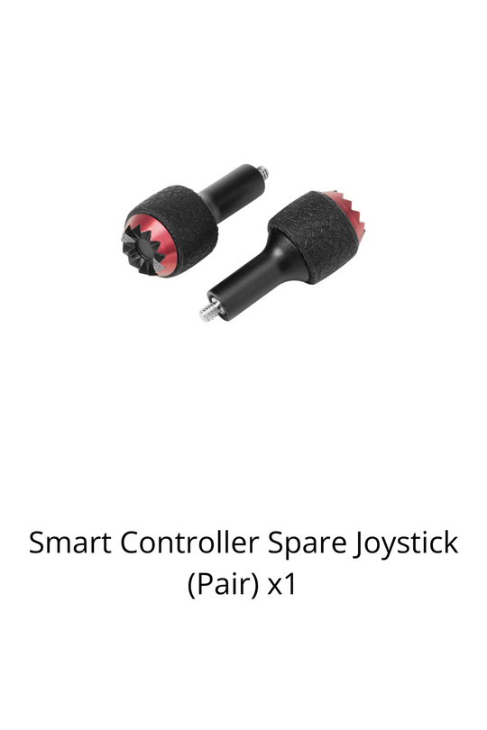
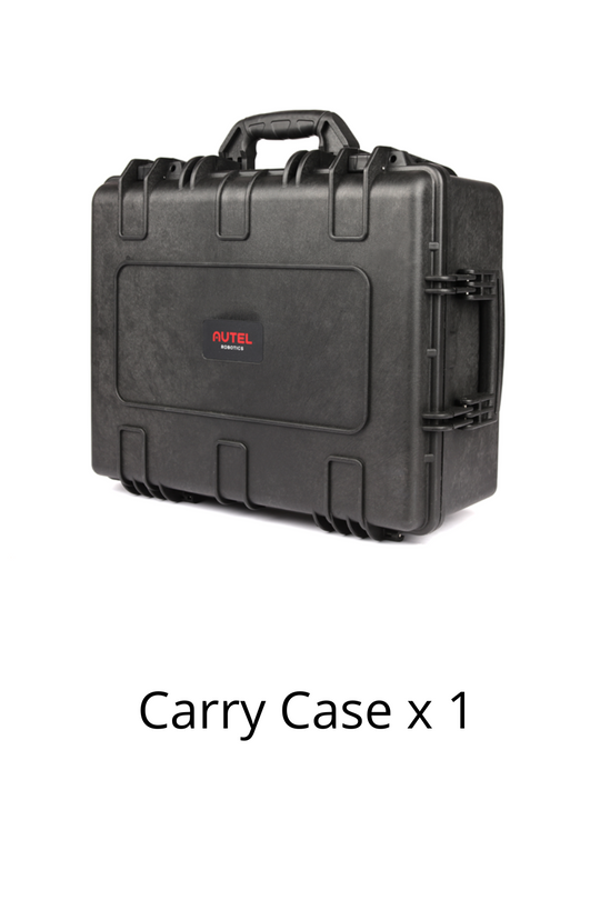
Packing List


FAQ
Unlike the other EVO II series aircraft, the EVO II RTK is epuipped with a high-precision RTK positioning and navigation system.
In an open area that is unobstructed and free of interference, the FCC standard is 9 km and the CE standard is 5 km. (2.4GHz)
If the image transmission signal is lost now and then, the aircraft will be able to continue mapping after reconnecting.
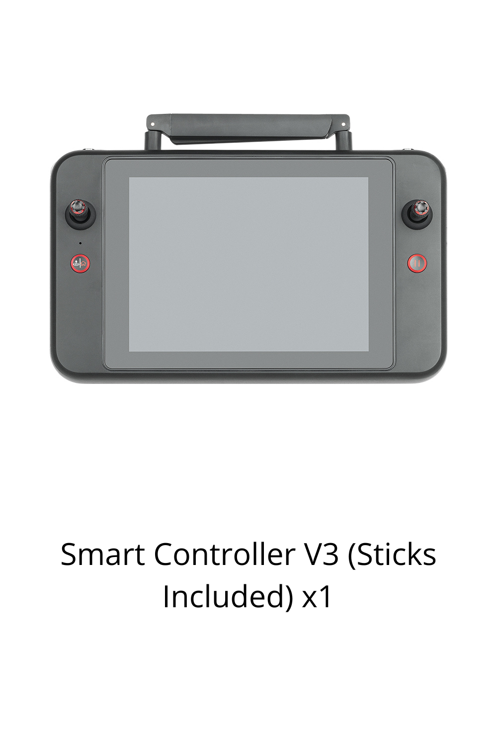
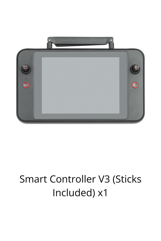
The remote controller offerts a built-in 3.26-inch 854×480p ultra-bright touch screen.
The A-RTK base station is currently supported.
1 cm + 1 ppm (horizontal), 1.5 cm + 1 ppm (vertical)
Real-Time Kinematic (RTK) and Post-Processed Kinematic (PPK) are both centimeter-level positioning systems; RTK is recommended when users have high requirements for convenience and real-time operation, and there is a network communication link in the survey area. If the user does not require real-time performance or is in an environment with a poor network communication, then the PPK post-processing method can be used.
The measurement coordinates given by the EVO II RTK are absolute coordinates.
It can achieve 4x lossless zoom.

Reliable Delivery
Free Shipping over USD $59
Expedited delivery available

Secure Checkout
We accept credit cards, PayPal, and Shop pay

Warranty and Care
Hassel-free warranty and Autel care plans offered

Dedicated support
Speedy customer support via phone and email

Training Center
Official Tranning Program is available for all series for free