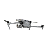
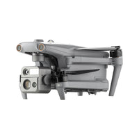
EVO Max 4N
$8,899.00 USD


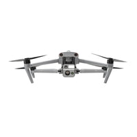
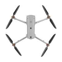
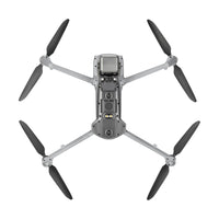
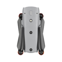
EVO Max 4N
$8,899.00 USD
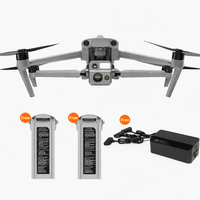
- Buy one MAX Series bundle during the Summer Promotion and receive 2 free batteries plus 1 multi-charger. The free batteries and multi-charger will be automatically added to your shopping cart
-
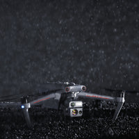
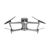
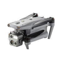
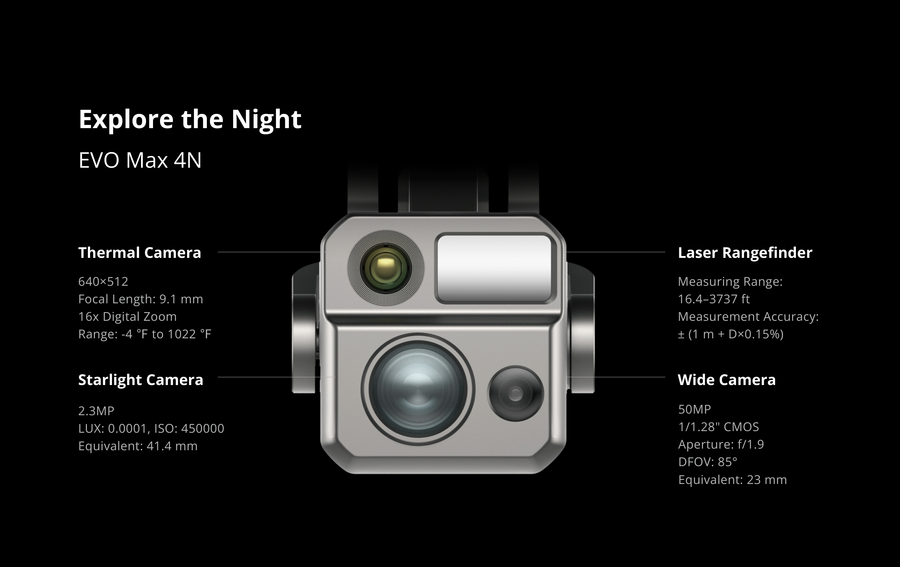
Starlight Night-Vision Camera | as low as 0.0001 LUX and ISO ranges from 100-450,000
- Lock Targets & Track at Night
- Autel SkyLink 3.0 | 12.4 miles Transmission Range
- 720° Obstacle Avoidance
- A-Mesh 1.0 | Mesh Networking Technology
- 3D Map Planning | Multiple Mission Types | Data Security
- Navigation in GPS Denied Environments
- 42 mins Max Flight Time
- IP43 ingress protection, and -20° F~122° F temperature operation range
Features
EVO Max 4N
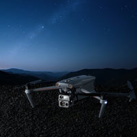
See the Unseen

Unlock new night time capability
| Infrared cameras are limited by the temperature difference between the target and its surrounding environment. | Accurately identifying targets at night with traditional thermal cameras can be very difficult. This usually occurs immediately after sunset in high-temperature environments or when the ground and the human body have similar temperatures. The EVO Max 4N is equipped with an Starlight Vision Camera which is not restricted by lighting conditions or temperature differences. |
| Nighttime reconnaissance through glass is obstructed. | Max 4N enables observation through glass obstructions, making features of targets inside vehicles or buildings distinctly visible. |
| Conventional infrared cameras cannot conduct long-range reconnaissance of targets at night. | The Max 4N can effortlessly detect light sources like cellphones or car lights 5km* or more in dark and open environments, enabling long-range and covert aerial reconnaissance. |
| Nighttime illumination compromises privacy. | Compared to infrared or laser illumination-based night vision reconnaissance solutions, the EVO Max 4N offers greater reconnaissance range and enhanced stealth, significantly reducing the risk of detection and counter-surveillance. |
| Low-light visibility issues during nighttime operations. | When ground team members wear night vision goggles, they can utilize laser signals projected by the UAV's laser rangefinder to pinpoint marked locations, enabling precise target positioning and effectively enhancing communication. |
| Challenges in marking and positioning for public safety. | In public safety scenarios, beacons and laser pointers can serve as target markers, helping UAVs efficiently identify team members and improve positioning accuracy. |


- Before conducting flight operations, users must familiarize themselves with and comply with relevant local laws and regulations. Ensure the aircraft has obtained the necessary certifications and legal airspace permissions.
- The parameters and specifications listed on this page are based on results measured under controlled testing conditions using the EVO Max 4N. Please note that results may vary under different external environmental conditions, usage methods, and firmware versions. Therefore, actual user experience should take precedence.
- Regarding flight time, the data is obtained under conditions with no wind or other flight interferences, with the aircraft's obstacle avoidance behavior set to braking mode, and the camera performing photo capture only. The aircraft flies continuously at 23 m/s at sea level until the battery reaches 15% capacity. This data is for reference only. To ensure flight safety, users should closely monitor the App's notifications during actual flight operations.
- According to relevant laws and regulations, countries such as China and South Korea only permit the use of downward-facing 24G radar (i.e., millimeter-wave radar installed on the underside of the aircraft for downward detection). For specific usage requirements, please refer to the laws and regulations of the respective country.
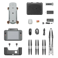
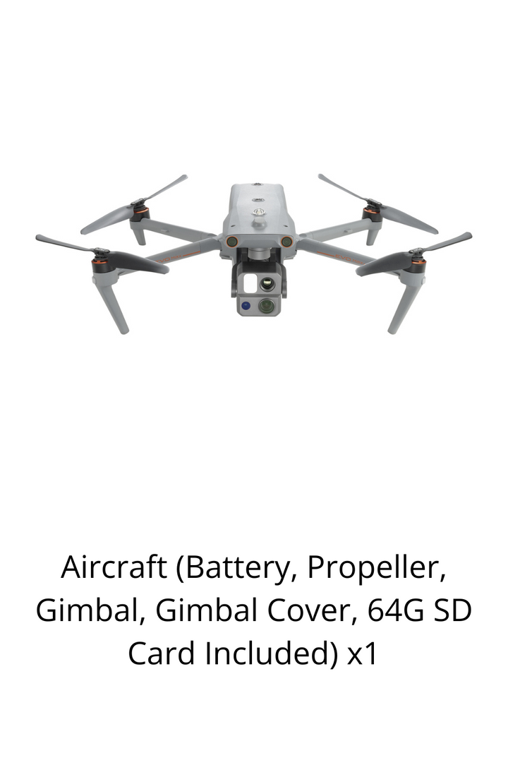
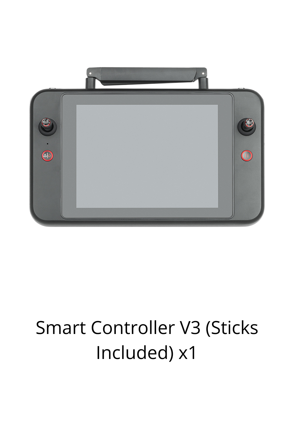
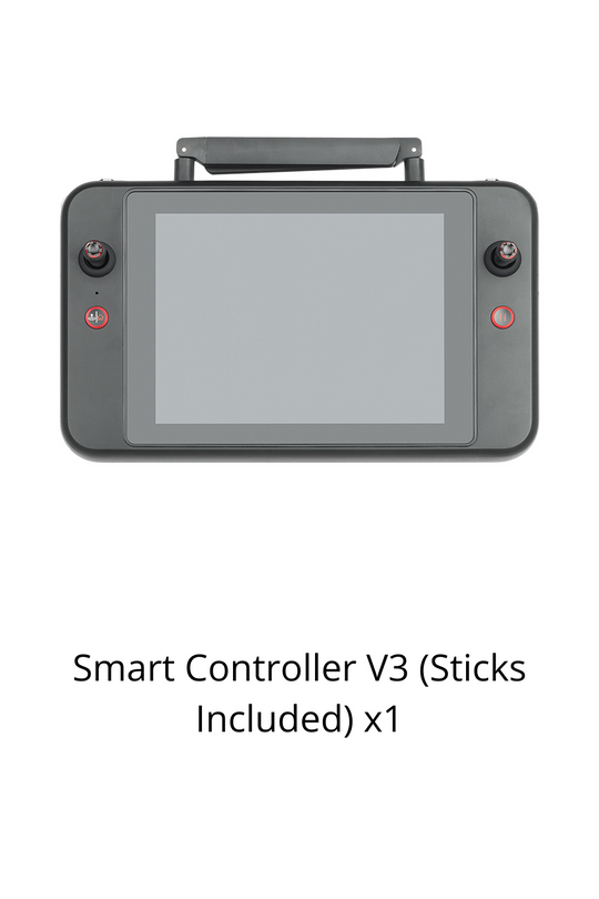
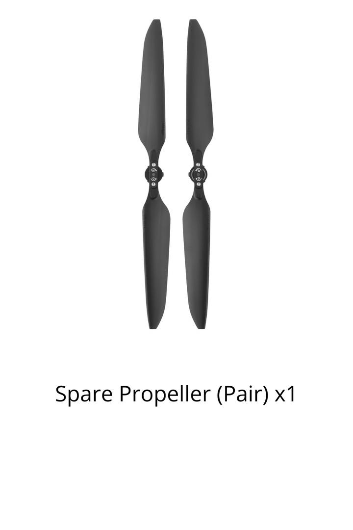
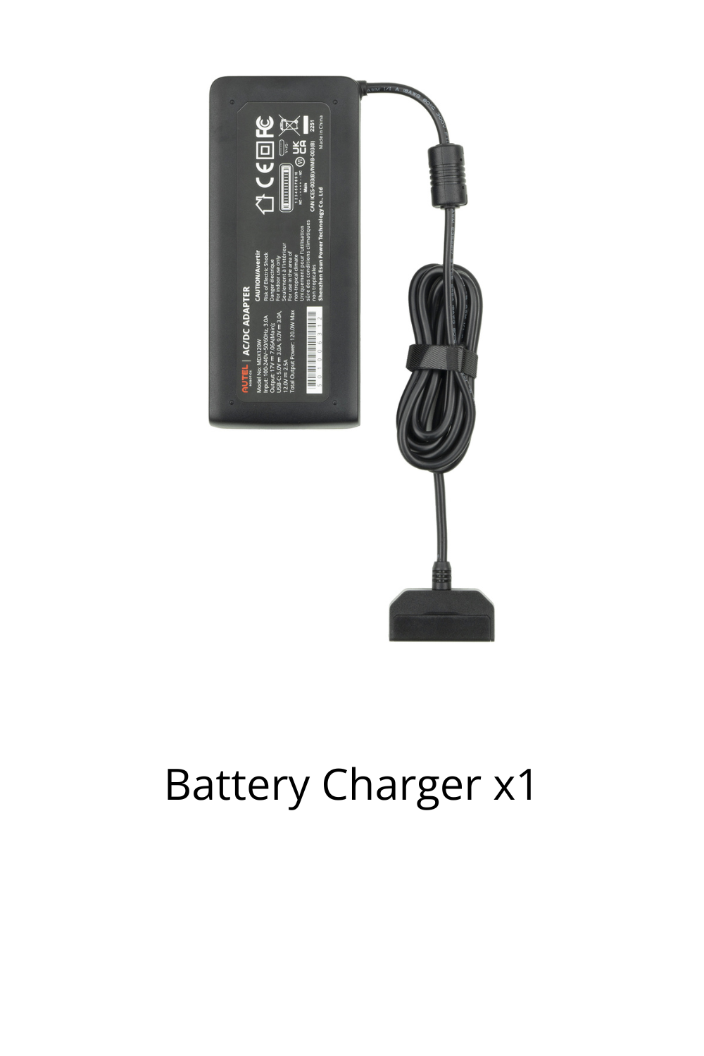
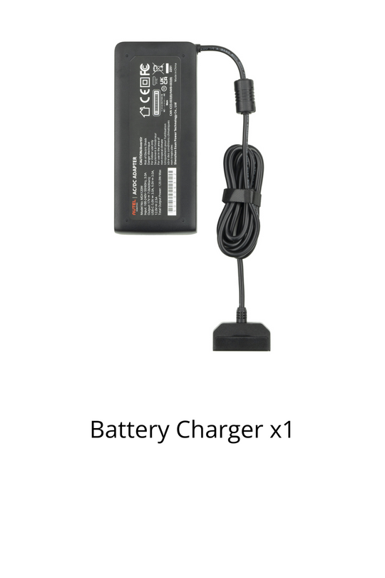
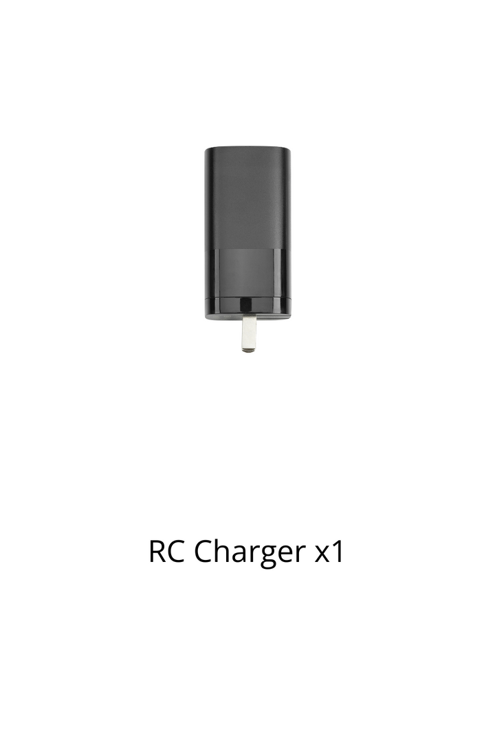
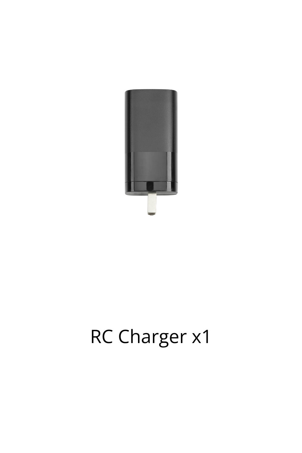
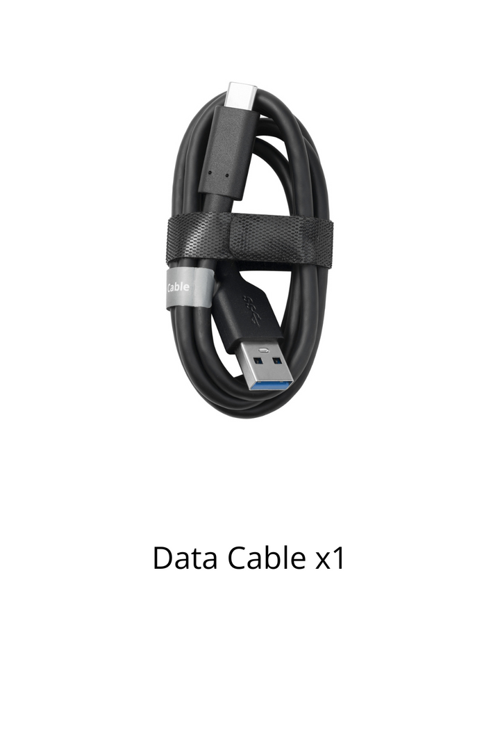
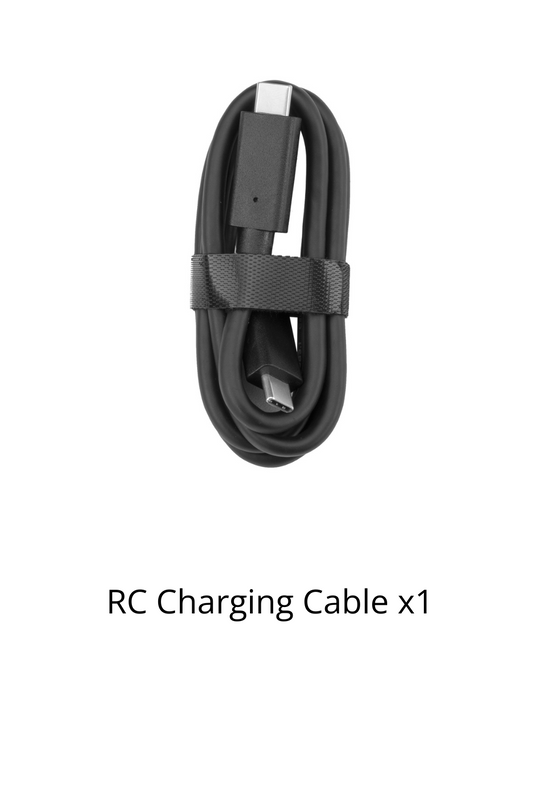
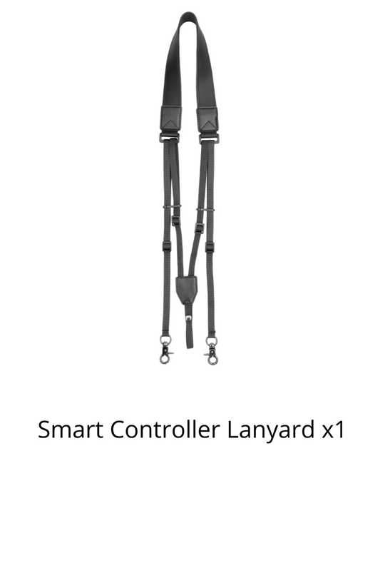
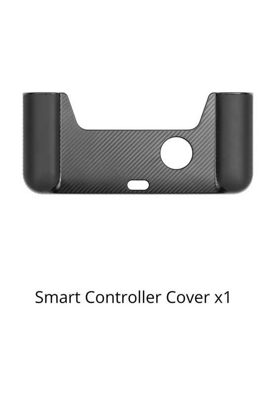
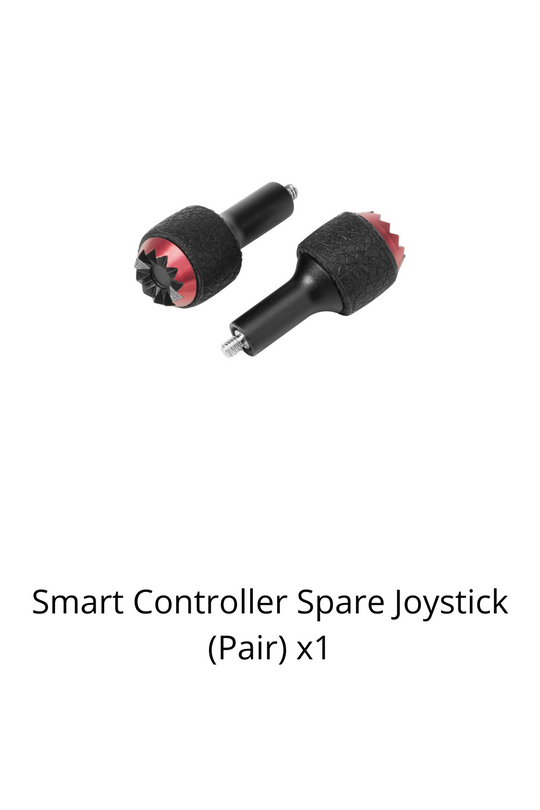
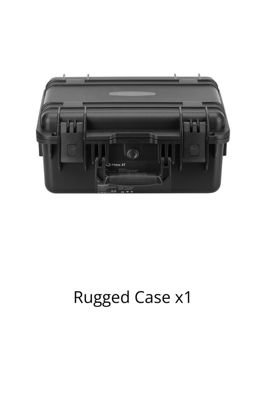
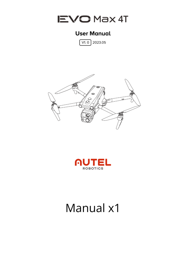
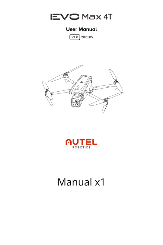
Packing List


Reach New Frontiers

Reliable Delivery
Free Shipping over USD $59
Expedited delivery available

Secure Checkout
We accept credit cards, PayPal, and Shop pay

Warranty and Care
Hassel-free warranty and Autel care plans offered

Dedicated support
Speedy customer support via phone and email

Training Center
Official Tranning Program is available for all series for free